Chủ nhật, 26/07/2026 | 18:31
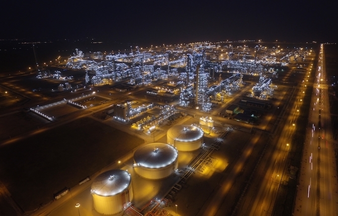
Analysing the spatial distribution of land surface temperature at Nghi Son refinery and petrochemical complex using Landsat and Sentinel 2 satellite image data Trinh Le Hung Military Technical Academy Email: trinhlehung@lqdtu.edu.vn Summary: The Landsat 5, Landsat 8 and Sentinel 2A satellite image data are used for extracting land surface temperature, thereby mapping the spatial distribution of land surface temperature at Nghi Son Refinery and Petrochemical Complex. The obtained results then can be used in monitoring land surface temperature changes, for land use planning as well as in minimising the impact of production processes to the environment. Key words: Land surface temperature, thermal infrared remote sensing, Nghi Son Refinery and Petrochemical Complex |

Bộ Công Thương xác định thực hiện Nghị quyết số 57-NQ/TW là nhiệm vụ chính trị quan trọng, thường xuyên và việc triển khai phải đồng bộ, quyết liệt.
24/07/2026
Bộ Công Thương xác định thực hiện Nghị quyết số 57-NQ/TW là nhiệm vụ chính trị quan trọng, thường xuyên và việc triển khai phải đồng bộ, quyết liệt.
24/07/2026


